For readers who want the context, not another devotional

You have read the verse.
Now see the place.

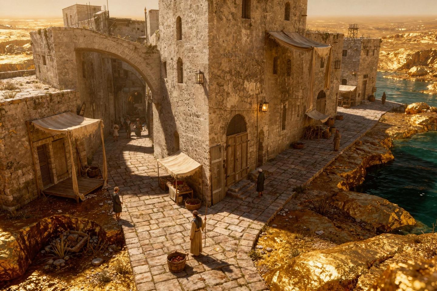
The Bible names hundreds of real places. Bethel. Capernaum. Caesarea Philippi. Joppa. This atlas shows you every one of them, drawn in 3D, with the hills, the roads and the distances that the first readers already knew by heart.

500pages
280plates
100+maps
66books
Get the Atlas for $17 One payment. Instant access. Yours forever.

Instant PDF and web reader Ready to print Free updates for life

Works with KJV, NIV, ESV, NKJV, NASB and CSB, or whatever Bible you already read. This is a geography reference, not a commentary. It takes no denominational side.

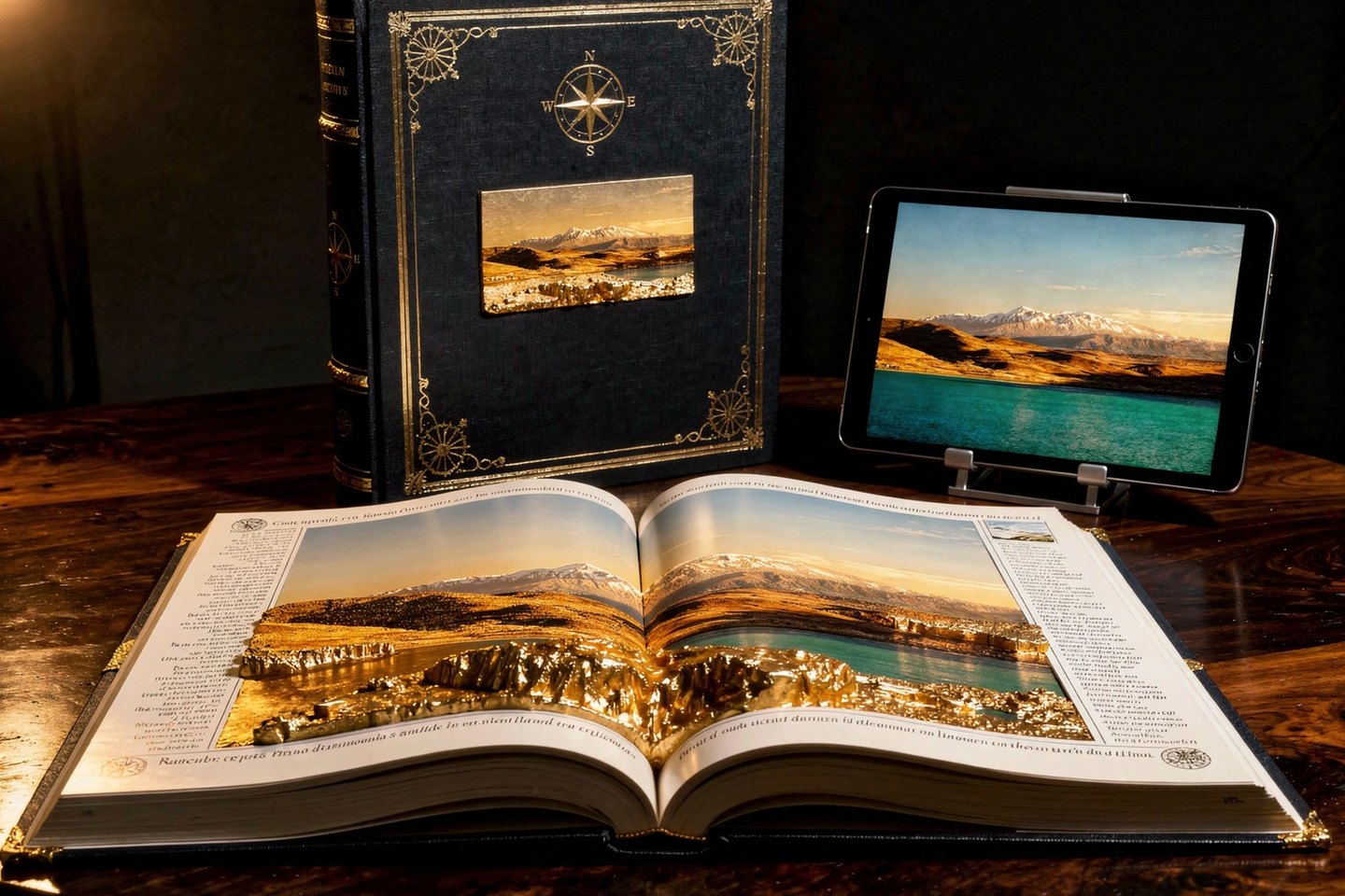
The atlas, open on a table showing a double page relief landscape, with the bound volume standing behind it and the same page on a tablet
The complete atlas, in print and on screenGenesis to Revelation
IThe difference in one drag

Same verse. Drag the handle.

On the left, the words as you have always read them. On the right, the same words with the ground underneath.

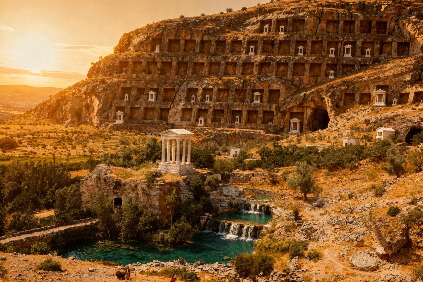
Photograph of the rock face and carved niches at Banias, ancient Caesarea Philippi

The passage as you read it

“Jesus went on with his disciples to the villages of Caesarea Philippi; and on the way he asked them, ‘Who do people say that I am?’”

Mark 8 : 27

Where is Caesarea Philippi? Why did he ask there? The question just sits there.

Text only
With the atlas
Drag to compare

What the drag shows you. Caesarea Philippi sat at the foot of Mount Hermon. In front of it stood a huge rock face covered in carved shrines to the god Pan, with a cave at the bottom that people called the Gates of Hades. Standing on that exact spot, Jesus said: “on this rock I will build my church, and the gates of Hades will not overcome it.”

He was pointing at something. For two thousand years, most readers have never been able to see what.

IIWhy this changes your reading

The Bible was written for people who already knew the map.

The first readers had walked those roads. They knew which way was uphill. They knew which border was dangerous. They knew how many days lay between two towns. So the text never stops to explain it, the same way you would never explain to a neighbour where the corner shop is. Every hill, every road and every border carried meaning that the words leave out. Two thousand years later and a continent away, that layer is simply gone. Put it back and the same verses start saying things you have never heard them say.

01

Distance shows the cost

“Mary got up and went quickly into the hill country.” That is roughly 90 miles of rough ground, on foot, pregnant, alone. The map turns half a sentence into a sacrifice.

02

Direction shows the choice

“He had to go through Samaria.” No, he did not. Jews normally crossed the Jordan to go around it. The road he refused to take is the point of the whole chapter.

03

The land makes the argument

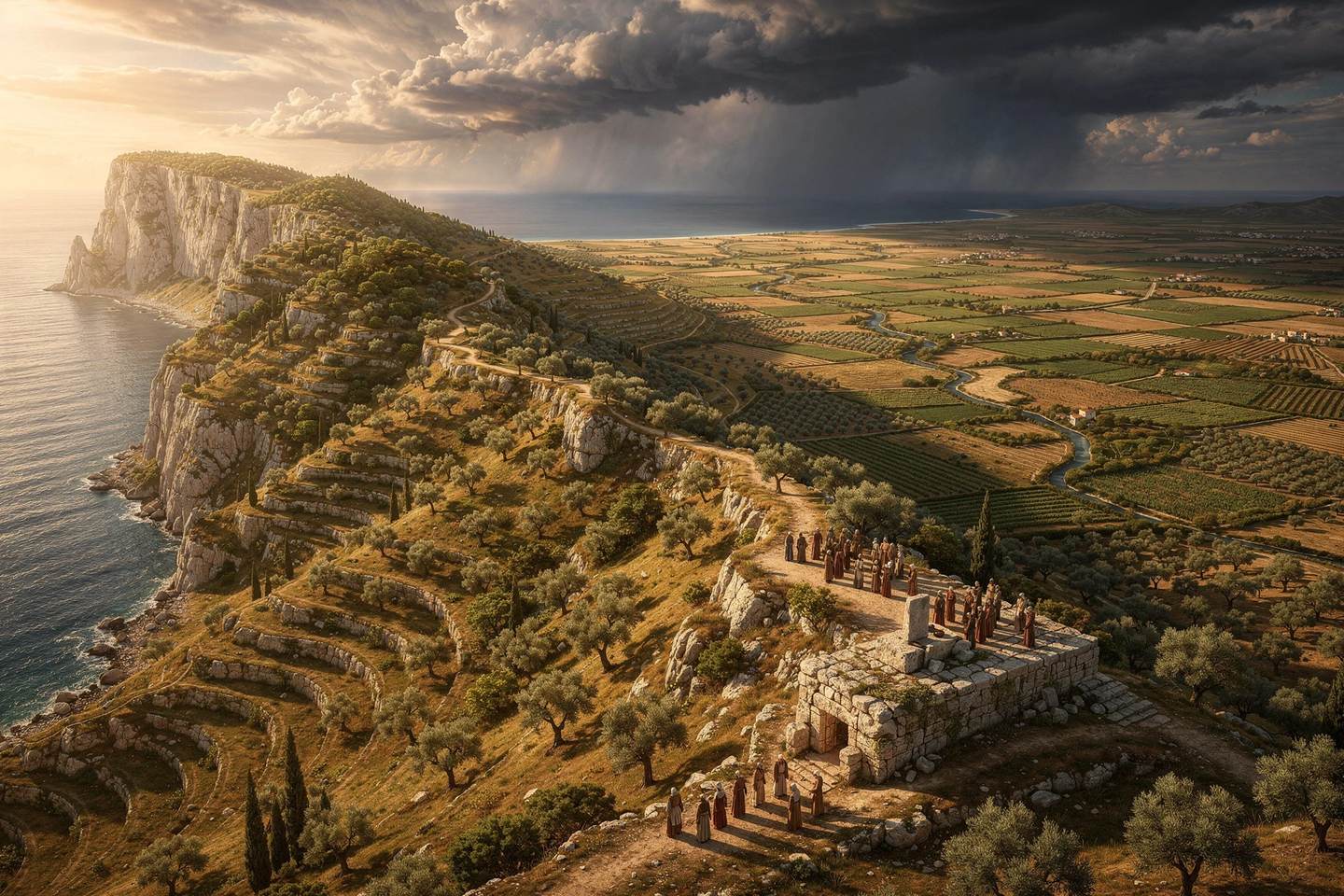
Elijah on Carmel. Abraham on Moriah. The Temple on a ridge directly above the valley where children had been burned. The ground keeps making the text's point in the background.

IIILook inside before you buy

Ten pages. Four of them wide open.

No blurred teasers. Four are open at full size. Look at them properly, then decide.

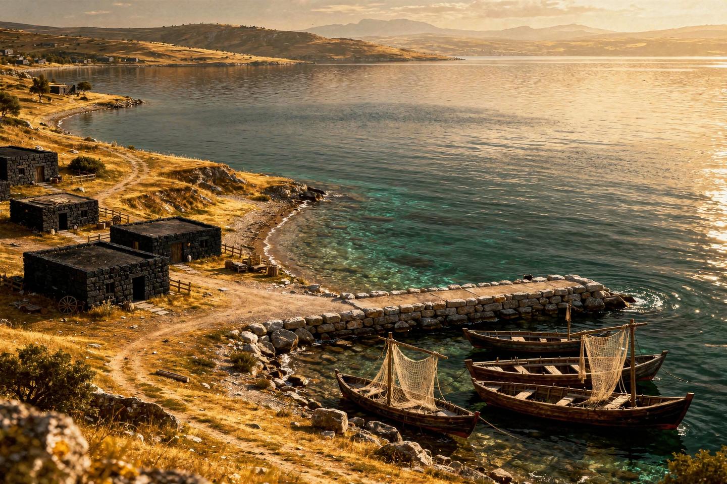
The Sea of Galilee seen from the north west shore
The Sea of Galilee, from the north westpg. 152
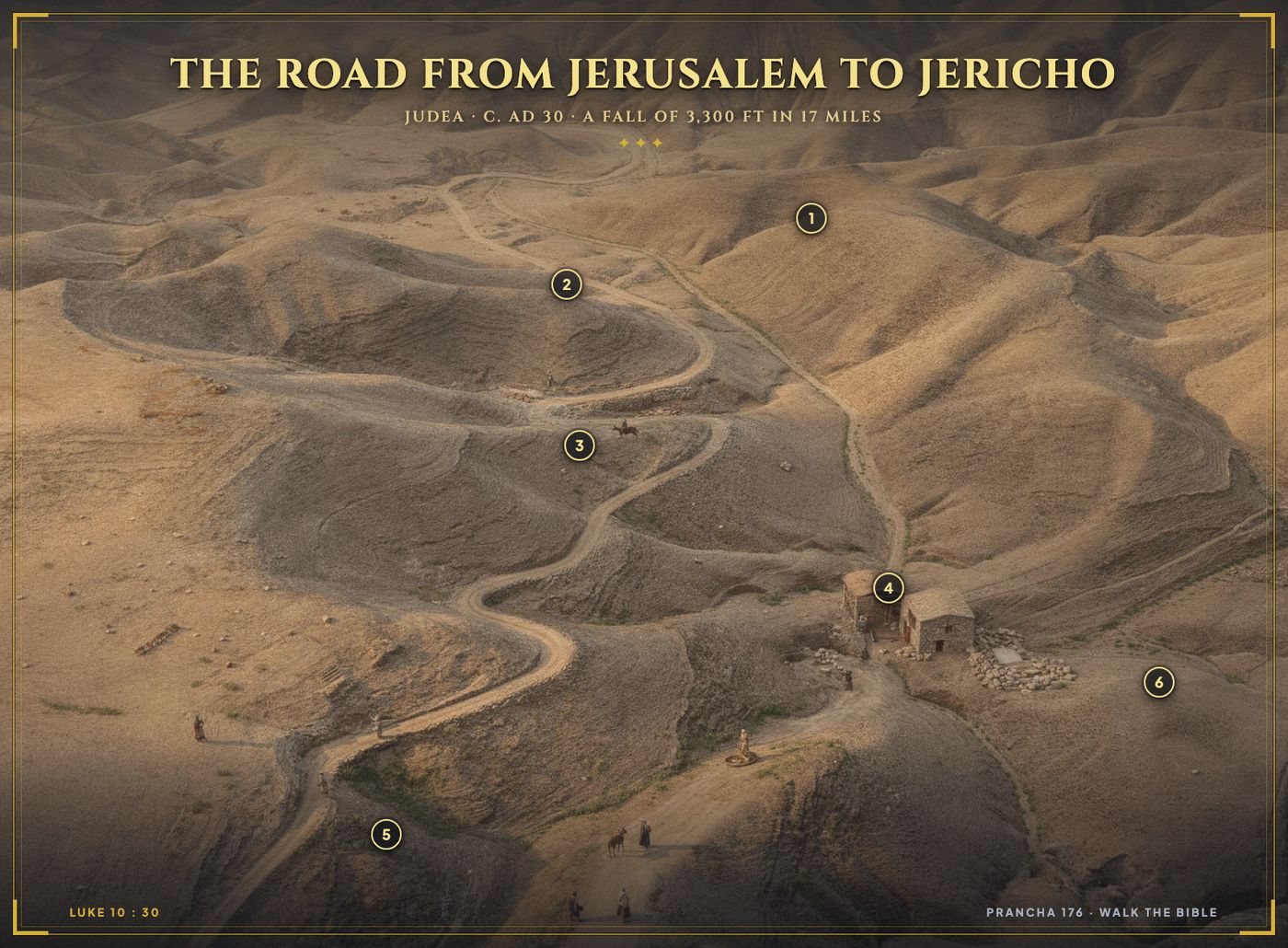
Annotated plate of the road from Jerusalem to Jericho
The road down to Jericho, annotatedpg. 176
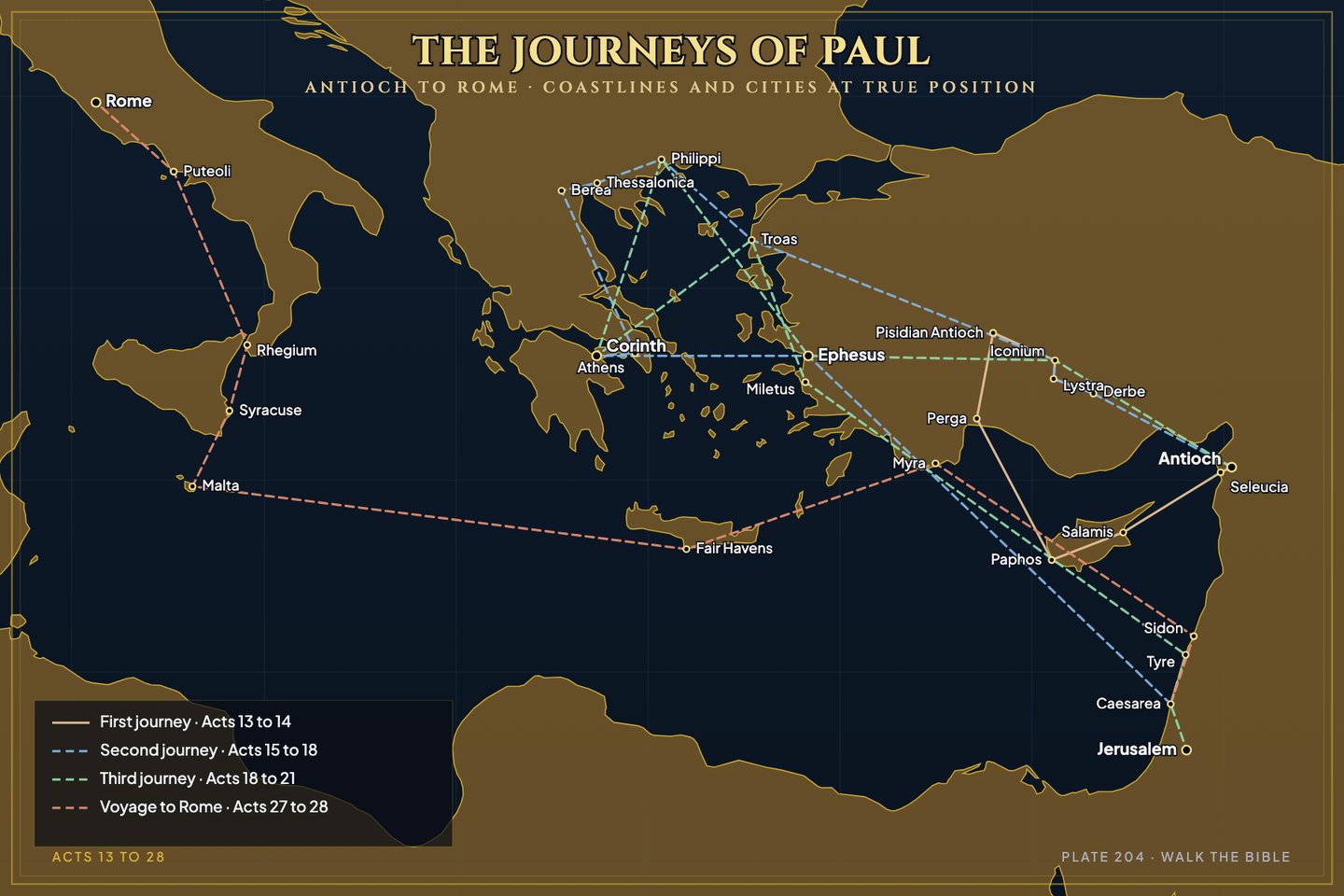
Map of Paul's four journeys with real coastlines
The journeys of Paul, all fourpg. 204
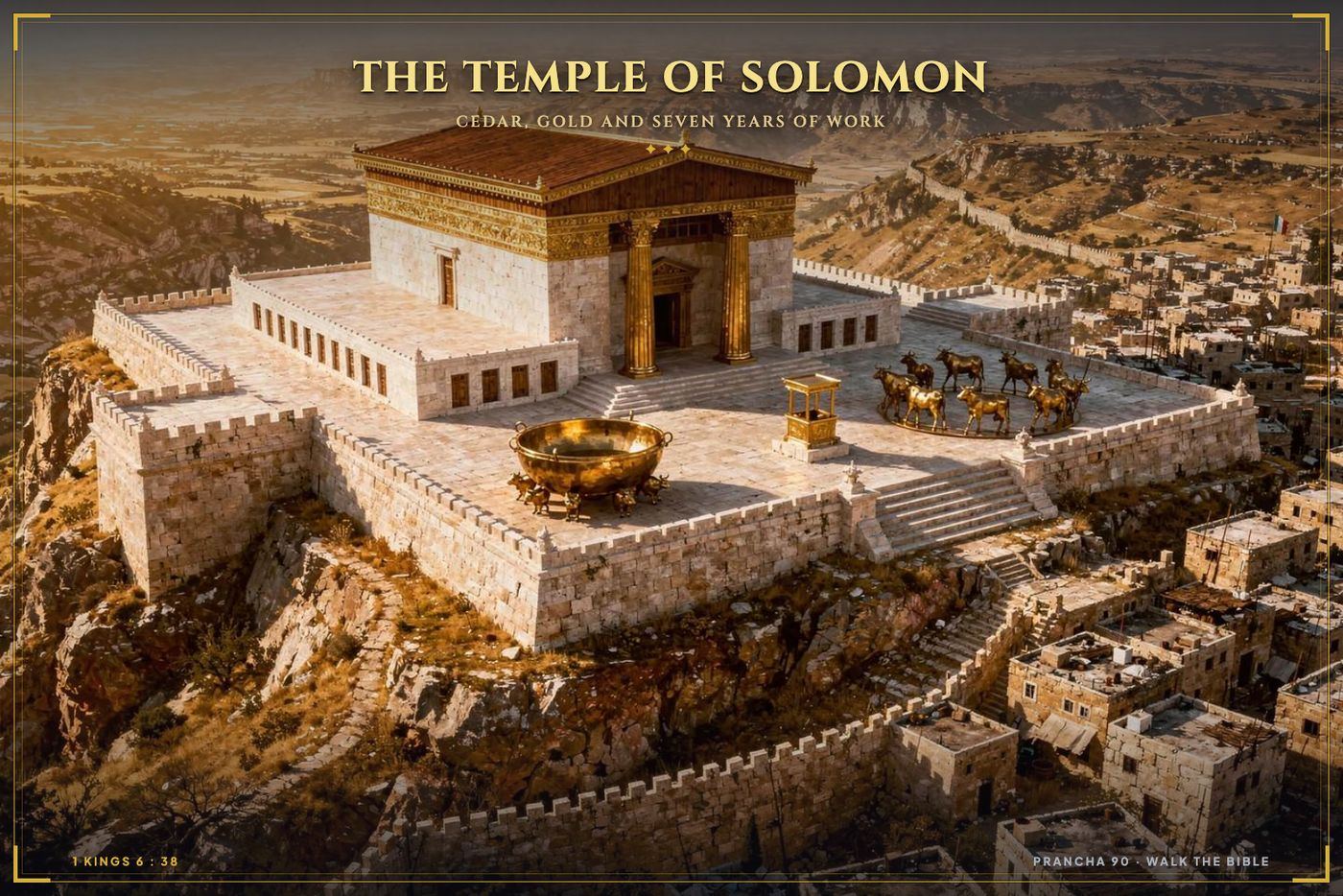
Reconstruction of Solomon's Temple
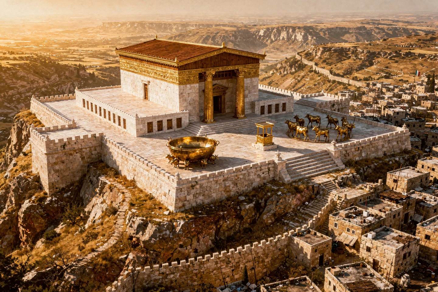
Solomon's Temple and the bronze seapg. 090
276 more plates
inside the atlas
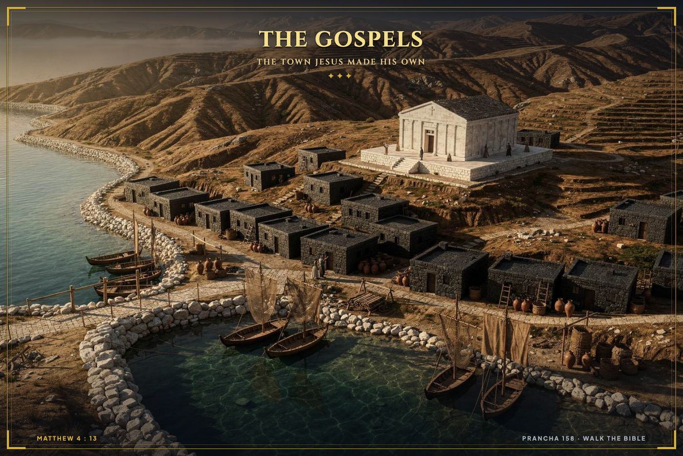
Capernaum
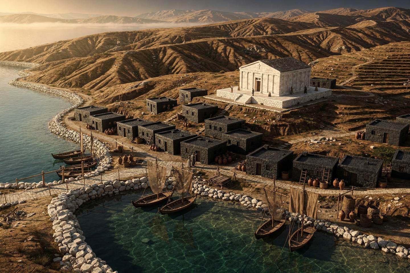
Capernaumpg. 158
276 more plates
inside the atlas
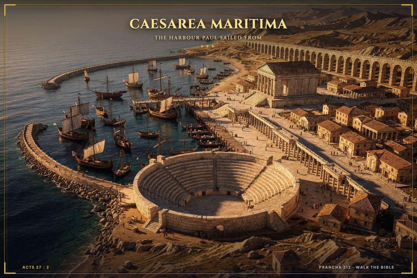
Caesarea Maritima
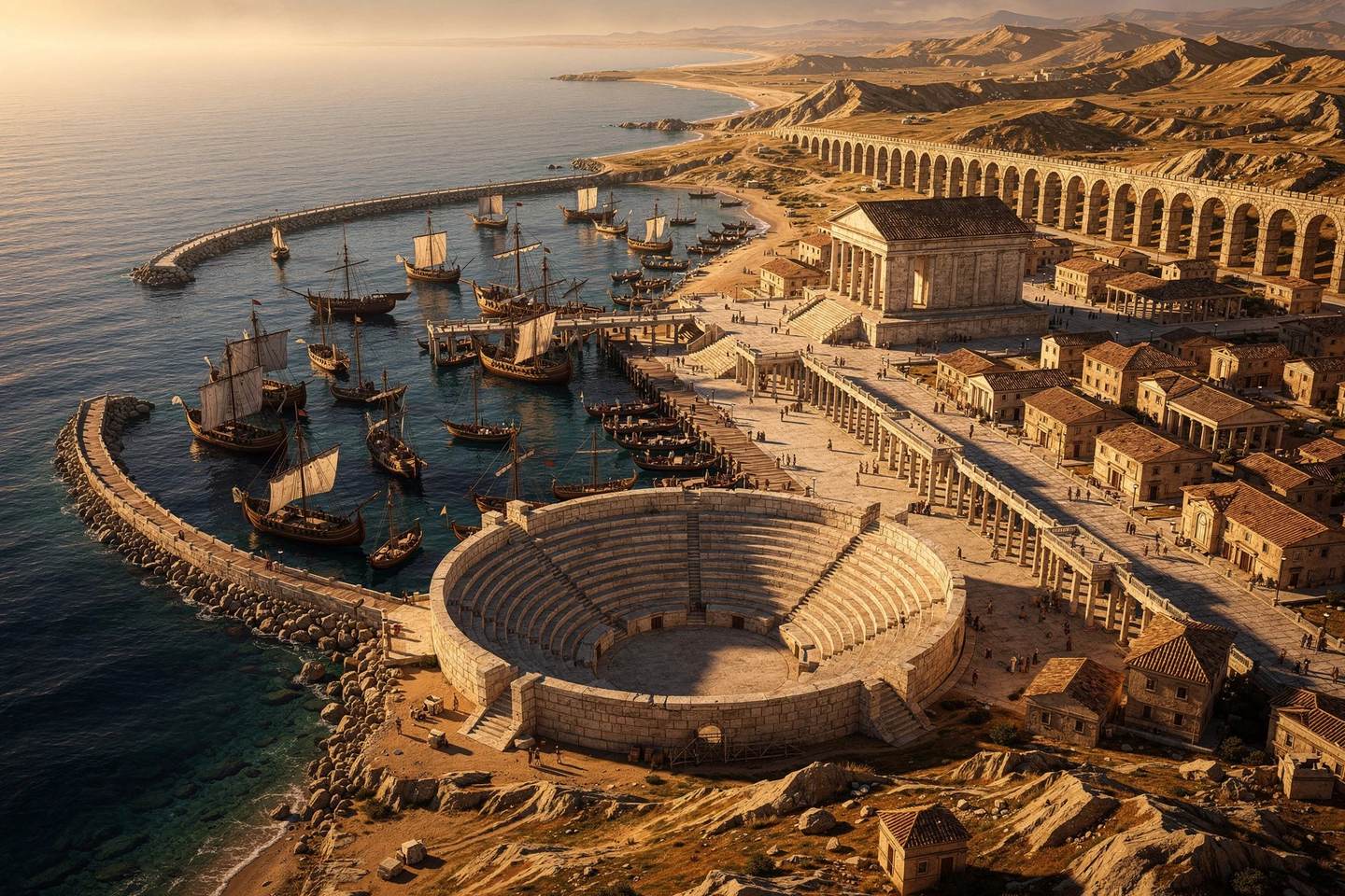
Caesarea Maritimapg. 212
276 more plates
inside the atlas
The Jordan and the ford
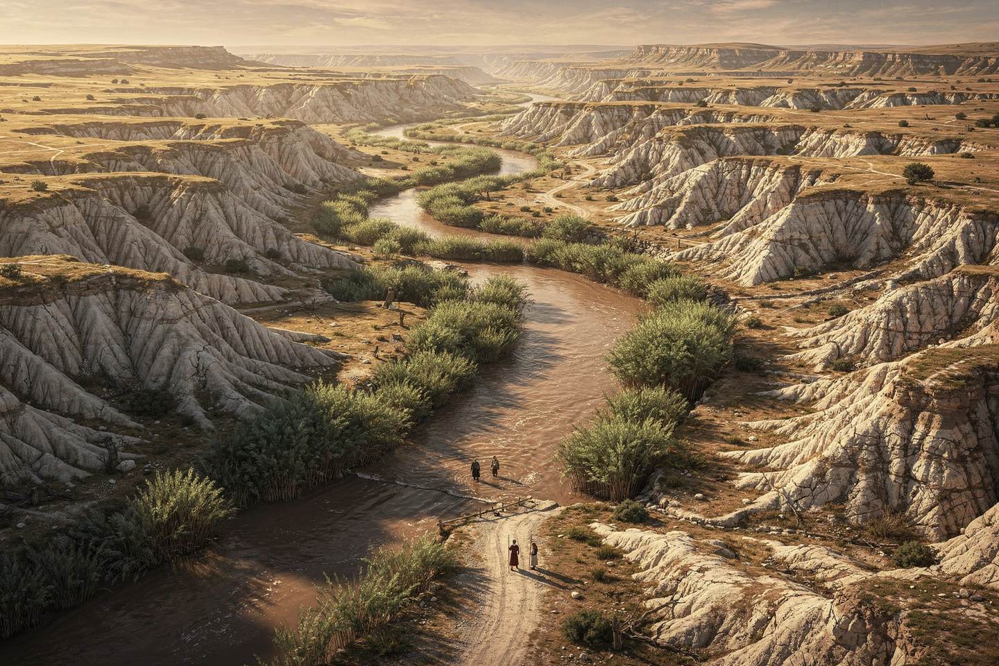
The Jordan and the fordpg. 134
276 more plates
inside the atlas
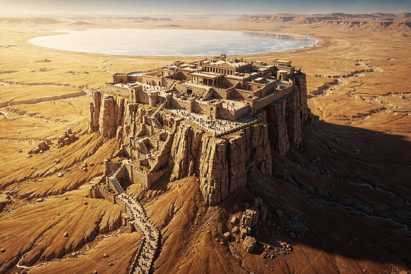
Masada above the salt sea
Masada above the salt seapg. 198
276 more plates
inside the atlas
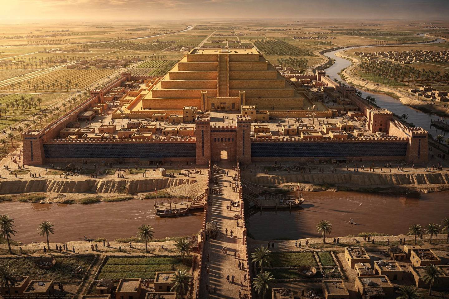
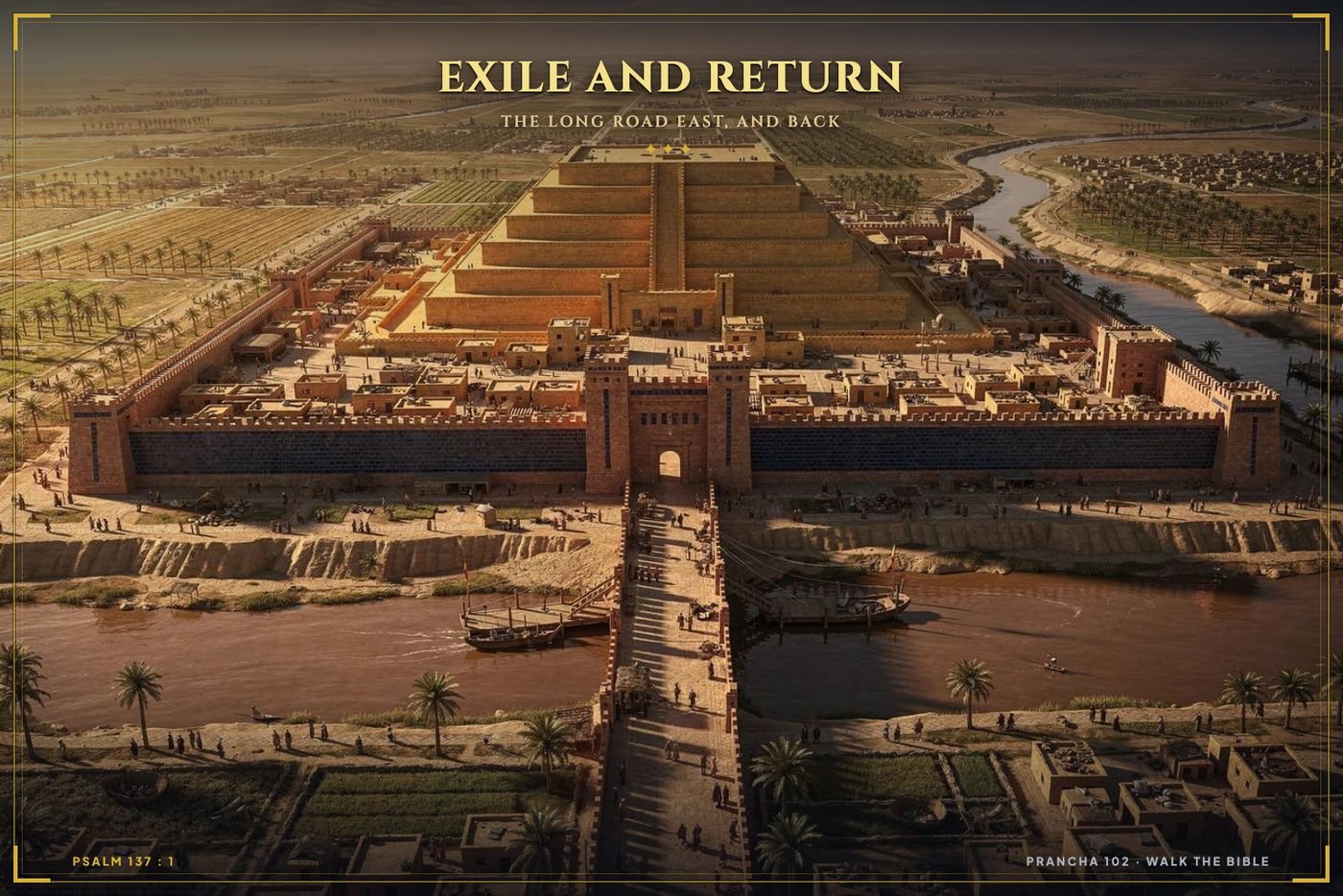
Babylon
Babylonpg. 102
276 more plates
inside the atlas
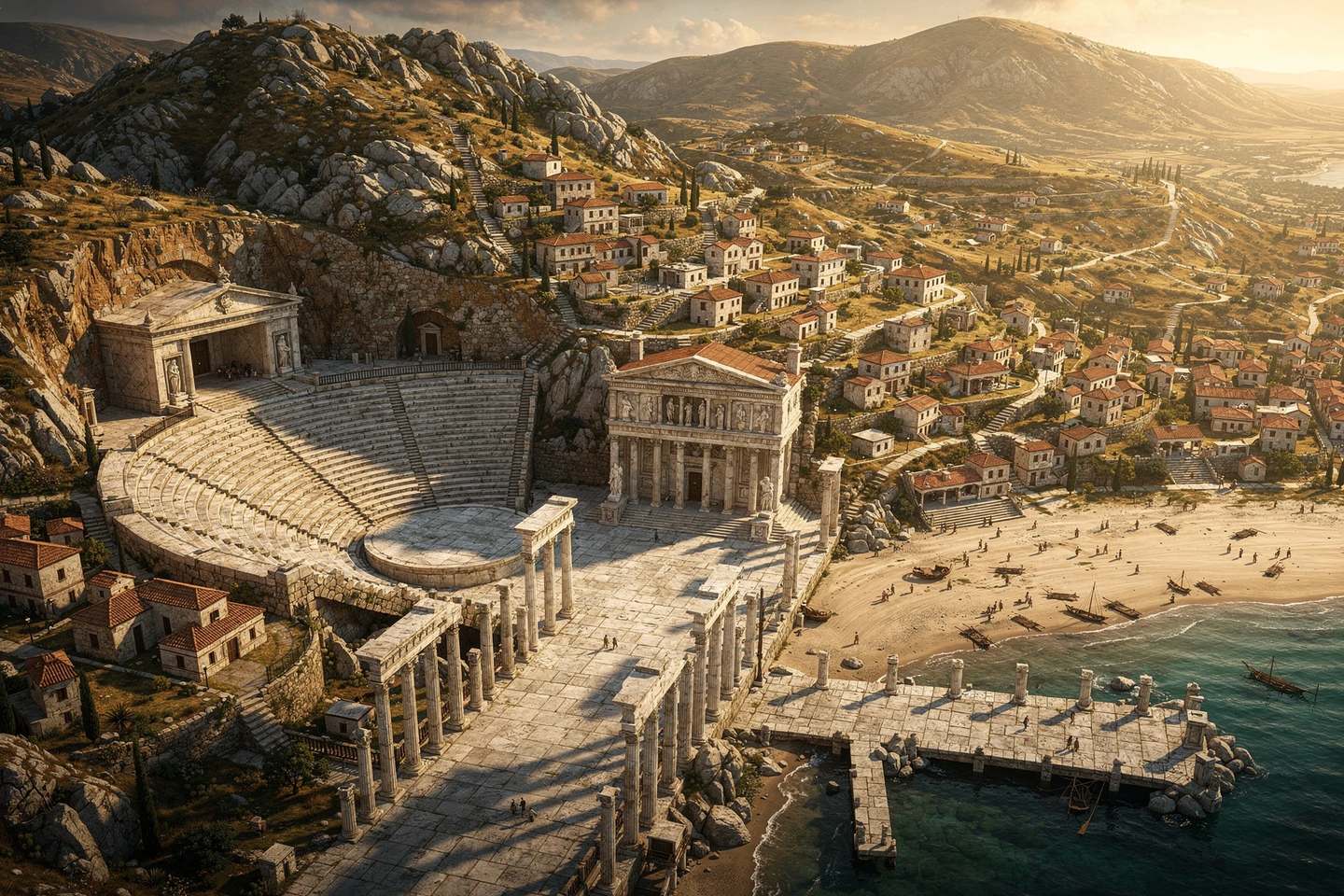
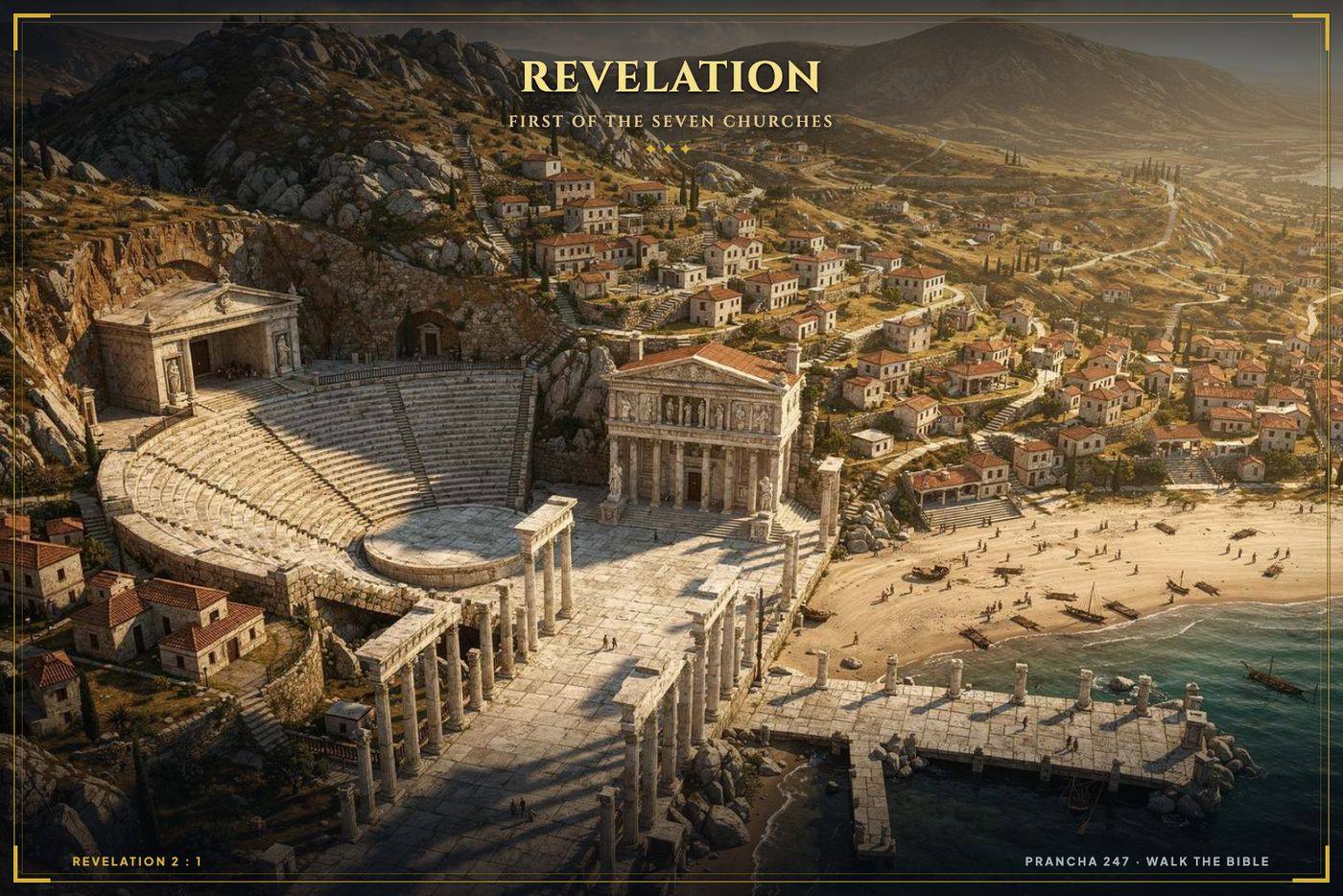
Ephesus
Ephesuspg. 247

Every page carries its number and the passages it illustrates, so you can find it again.

IVWhat is in the book

One book. The whole world of the Bible.

All 66 books. Genesis through Revelation. Nothing skipped, nothing summarised away.

280 full pages of plates. Cities, terrain, temples and routes, drawn to be read rather than decorated.

More than 100 maps. Political, physical, military campaigns and travel routes.

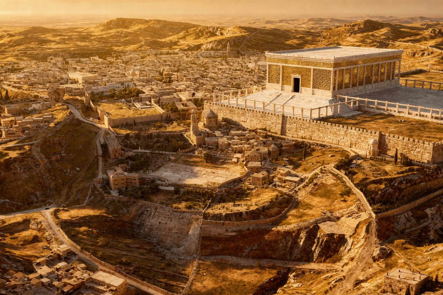
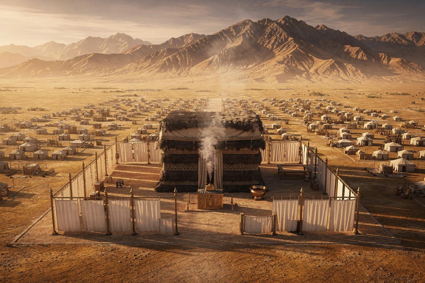
3D reconstructions. Jerusalem, the Tabernacle, Solomon's Temple, Herod's Temple and Noah's Ark.

Verse references on every page. Go straight back to the passage you were reading.

Made to print. For study groups, classrooms and Sunday school, with no licence headache.

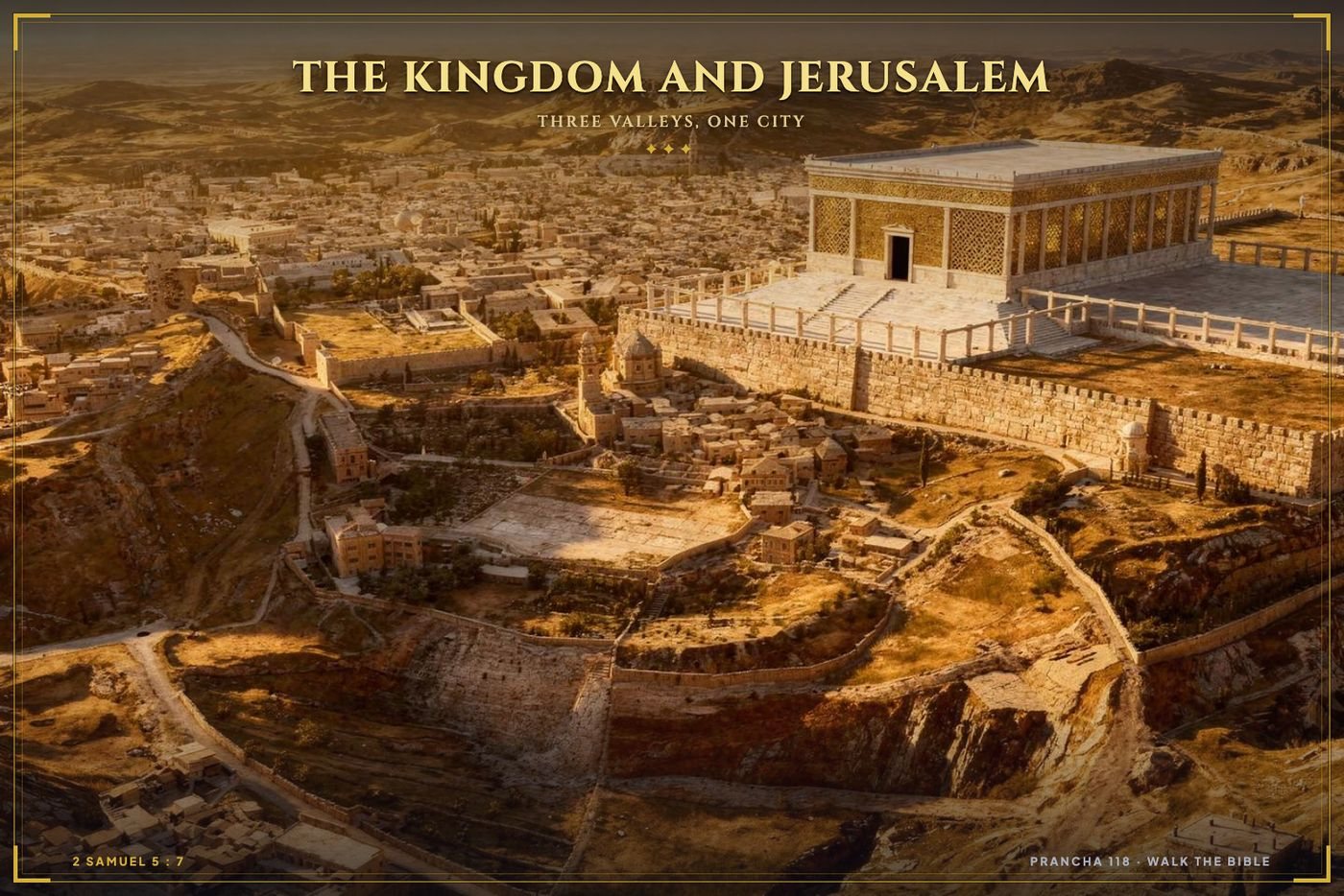
Atlas plate of Jerusalem, the temple platform and the three valleys
A typical page: Jerusalem and its three valleyspg. 118

Nine eras, in order, so you follow the story instead of hunting for it

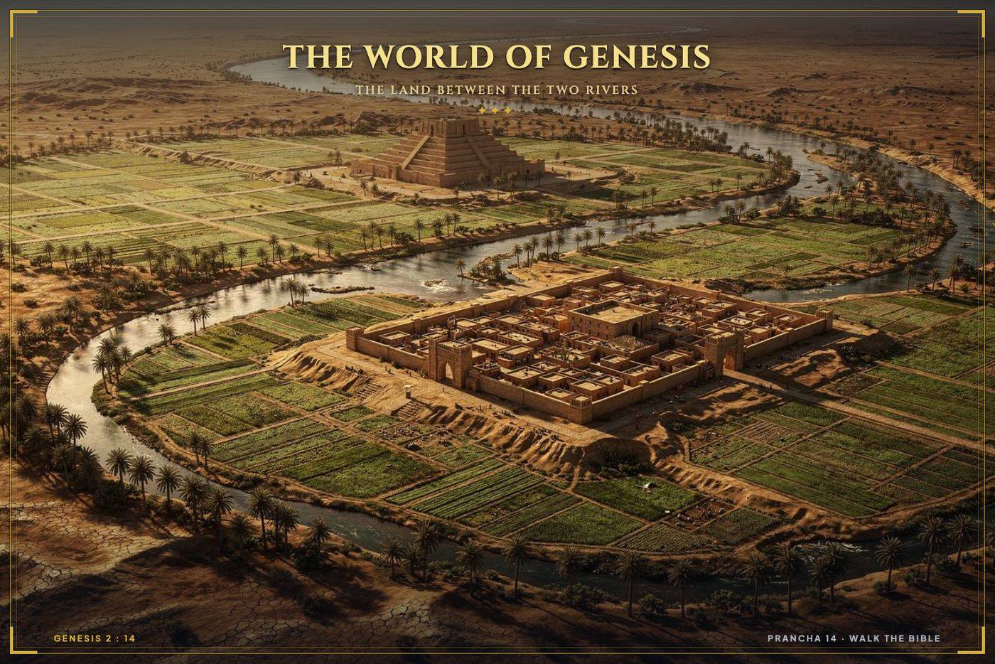
Origins
IOrigins

The first lands, peoples and routes named in Genesis.

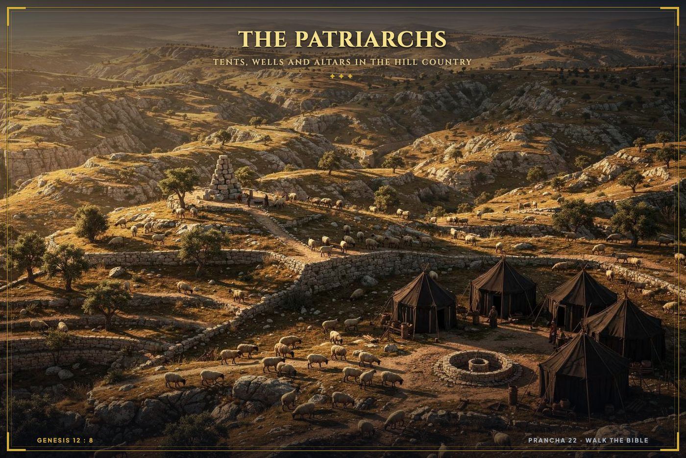
The Patriarchs
IIThe Patriarchs

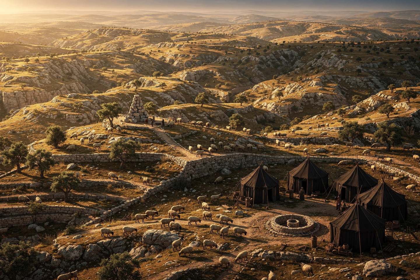
Abraham's move to Canaan, the wells and the altars.

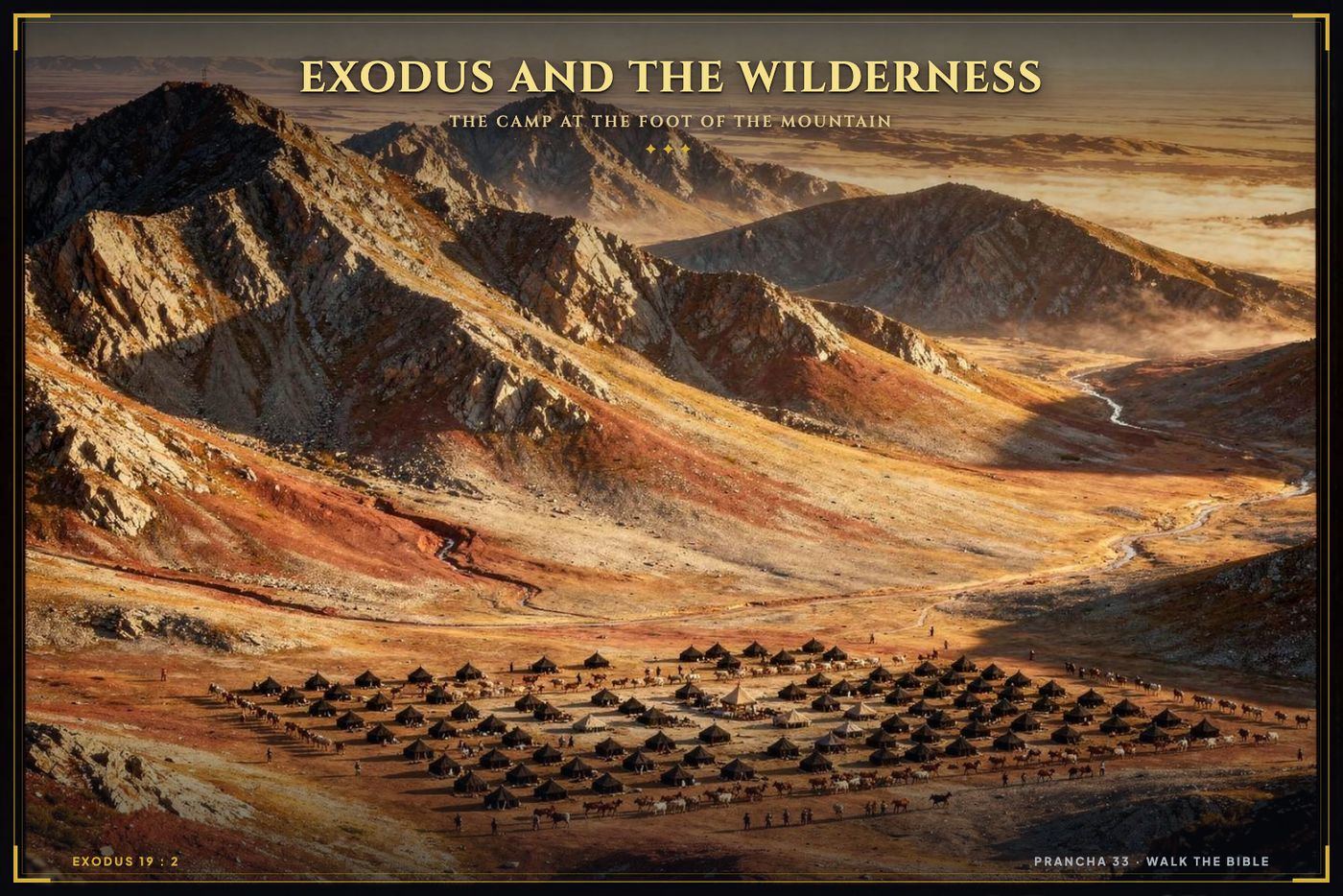
Exodus and Wilderness
IIIExodus and Wilderness

Egypt to Sinai, with the real distances and the real desert.

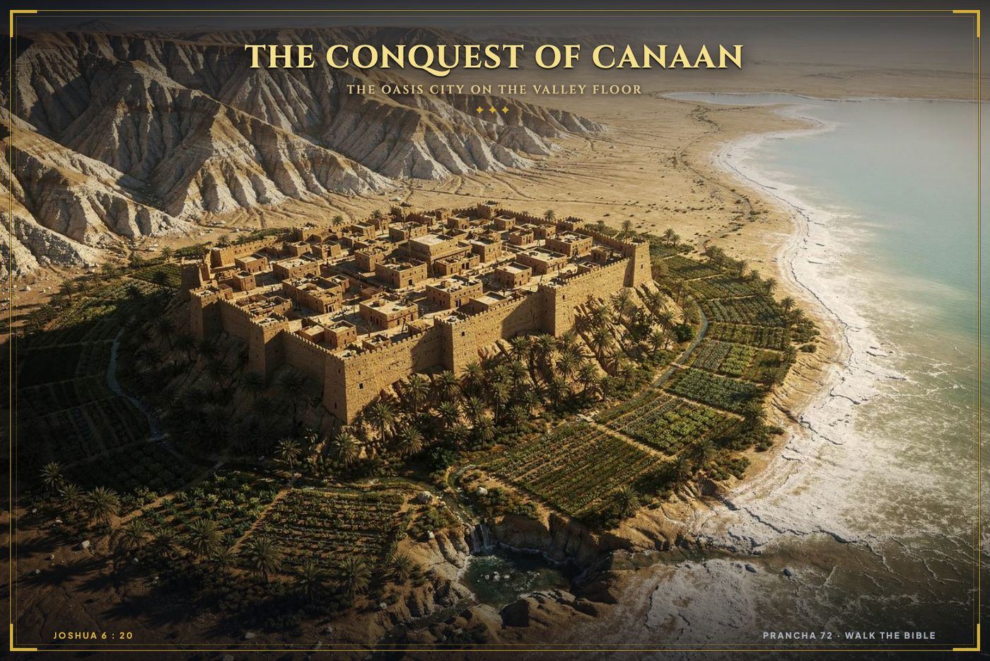
Conquest and Judges
IVConquest and Judges

Tribal lands, walled cities and contested borders.

The Kingdom
VThe Kingdom

Jerusalem as capital, then the kingdom split in two.

Exile and Return
VIExile and Return

Assyria, Babylon, Persia and the road home.

The Gospels
VIIThe Gospels

Where Jesus was born, walked, taught and was crucified.

The Early Church
VIIIThe Early Church

Paul's four journeys, Antioch to Rome, stop by stop.

Revelation
IXRevelation

The seven churches, their cities and the pressure they were under.

VWho it is for

For people who teach it, and people who just want to finally get it.

Pastors and teachers

Put a page on the screen and the room leans in. Print it, hand it out, no licence to worry about.

Small and home groups

Everyone looking at the same picture. Nobody nodding along while quietly lost about where Ephesus is.

Seminary students

The geography layer that most study Bibles squeeze into two pages at the back.

Daily readers

You are not behind. Nobody ever gave you the map. Read the passage, look at the page, carry on.

VIIncluded with the atlas

Eight extras that come with it

Not filler PDFs padding out a price list. Each one answers a question the atlas itself raises.

Paul's Journeys in 3D

All four voyages, with the terrain, the sea routes and the ports in order.

$29Included free

Tents and Altars Map

Every altar and camp of the patriarchs, located and dated.

$19Included free

Noah's Ark, the Architecture

Decks, dimensions and structure, drawn from the measurements in the text.

$19Included free

30 Story Cards in 8K

One card for each major story, made for screens and for teaching.

$24Included free

The 365 Reading Path

A year through the Bible, with each day tied to its place on the map.

$19Included free

Where Is It Index

Every place name in the Bible, in alphabetical order, with its page number.

$15Included free

Distances and Travel Times

How long each journey actually took on foot, by donkey and by ship.

$15Included free

Class Pack to Print

Blank maps and worksheets for Sunday school and small groups.

$20Included free
VIIThe complete package

Everything, one payment.

Walk the Bible · Complete 3D Atlas
  • The Atlas. 500 pages, 280 plates, over 100 maps$97
  • Paul's Journeys in 3D$29Free
  • Tents and Altars Map$19Free
  • Noah's Ark, the Architecture$19Free
  • 30 Story Cards in 8K$24Free
  • The 365 Reading Path$19Free
  • Where Is It Index$15Free
  • Distances and Travel Times$15Free
  • Class Pack to Print$20Free
  • Every new plate we add, free, foreverFree
Total value$257
Regular price$257
Today only $17 One payment. Yours forever.
You save $240 today93% off
00hrs
00min
00sec

This price holds until midnight tonight, then it goes to $37.

Get instant access for $17 Secure checkout. Delivered in seconds.

Encrypted checkout Card, PayPal and more Delivered in seconds

Straight answers

How do I get it?
Right after payment you get an email with your download link and access to the web reader. If it has not arrived in five minutes, check your spam folder, then write to us and a person will sort it out.
Is this just filler made by a computer?
The 3D views are drawn illustrations. That is how any modern atlas shows a city that no longer stands. The geography underneath them is not invented. Heights, distances, routes and site locations follow the standard reference works on biblical geography and archaeology. Where scholars disagree about a site, the page says so instead of pretending.
Which Bible translation does it follow?
None in particular. Place names appear in their most common English spelling, with other spellings noted. It sits happily next to KJV, NIV, ESV, NKJV, NASB or CSB. It is a geography reference, not a commentary, so there is no denominational position built into it.
Can I read it on my phone?
Yes. Phone, tablet, computer or printed on paper. The pages are large, so a tablet or a computer is the nicer way to read the detailed maps.
Do I need to know anything first?
No. If you can find Genesis in a Bible, you can use this. People who have been reading for years tend to get the most out of it, only because they have been carrying the questions longer.
Can I use it to teach?
Yes. Print the pages for your class, put them on the screen, hand out the worksheets. What you may not do is resell the files or post them in public.
Is this a subscription?
No. You pay once. New pages and updates come to you free, forever.
$17One payment. Instant access.
Get access